Drone and UAS (Unmanned Aerial Systems) Program
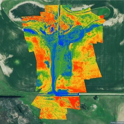
Earth Systems provides UAS/drone surveys to support oil and gas reclamation projects. The USA/drone utilizes a radiometric thermal camera with five high-resolution narrow bands, producing advanced thermal, multispectral, and high-resolution imagery synchronized for advanced analytics. Data is exported into user-friendly formats for CAD and GIS applications.
Data is utilized to create 3D point clouds, orthomosaics, normalized difference vegetation index maps, digital surface models, and thermal heat maps.
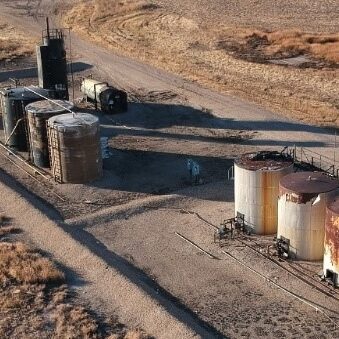
Our UAS capabilities include real-time emergency response imagery/live-feed video, impact delineations, preliminary ground surveys for future infrastructure, facility inspections, and agricultural surveys.


Technical Specifications:
- Raw imagery consists of blue, green, red, red-edge, near infrared, and thermal wavelengths
- Long wave thermal infrared 8-14um. radiometrically calibrated
- Ground sample distance of 3.5 cm or better at 200 ft above ground level for blue, green, red, red-edge and infrared raw data
- Centimeter range spatial accuracy
Our pilots are also experienced environmental professionals who ensure data collected meet the intended purpose and exceed expectations. Compared to traditional methods, our UAS/drone service will safely survey your Site, Equipment, or Project to save you time and money.
